
The dangers of global warming are increasing year on year and drastic change is needed to reverse the effects we are causing to our planet. Just in the last few years, we have seen unprecedented natural disasters caused by global warming such as the recent floods in Pakistan in June and Australia in October 2022. Additionally, there are continual wildfires happening across the world. Researchers say climate change is worsening the situation. Australia has warmed by around 2.6 degrees Fahrenheit (1.5 Celsius) since 1910. A warming atmosphere holds more moisture and can increase the intensity of extreme rainfall events. With over “226 million people impacted by natural disasters every year” and “over $100 billion is surpassed in economic losses” due to climate change it’s important that effective methods and means are put in place to avoid future disasters.
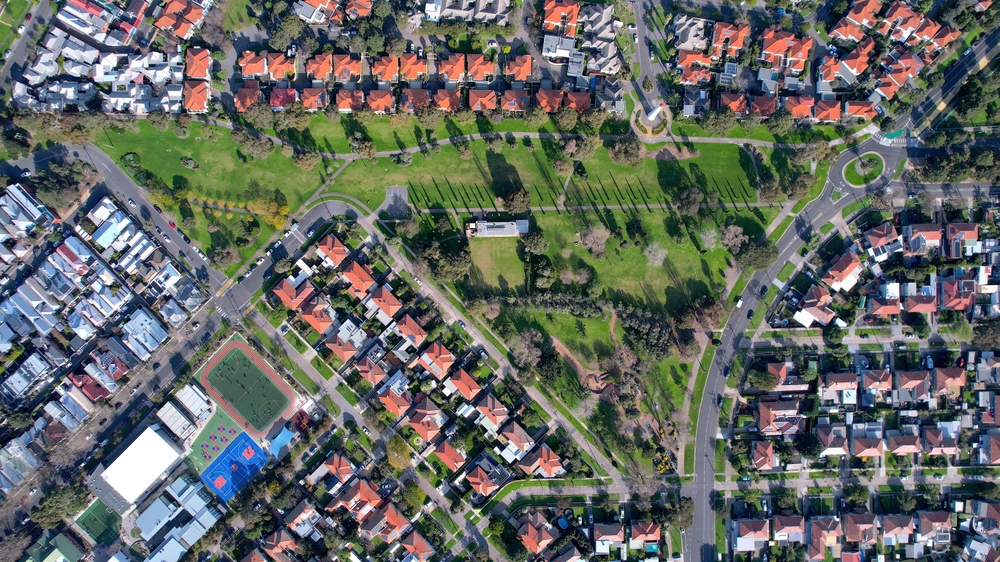
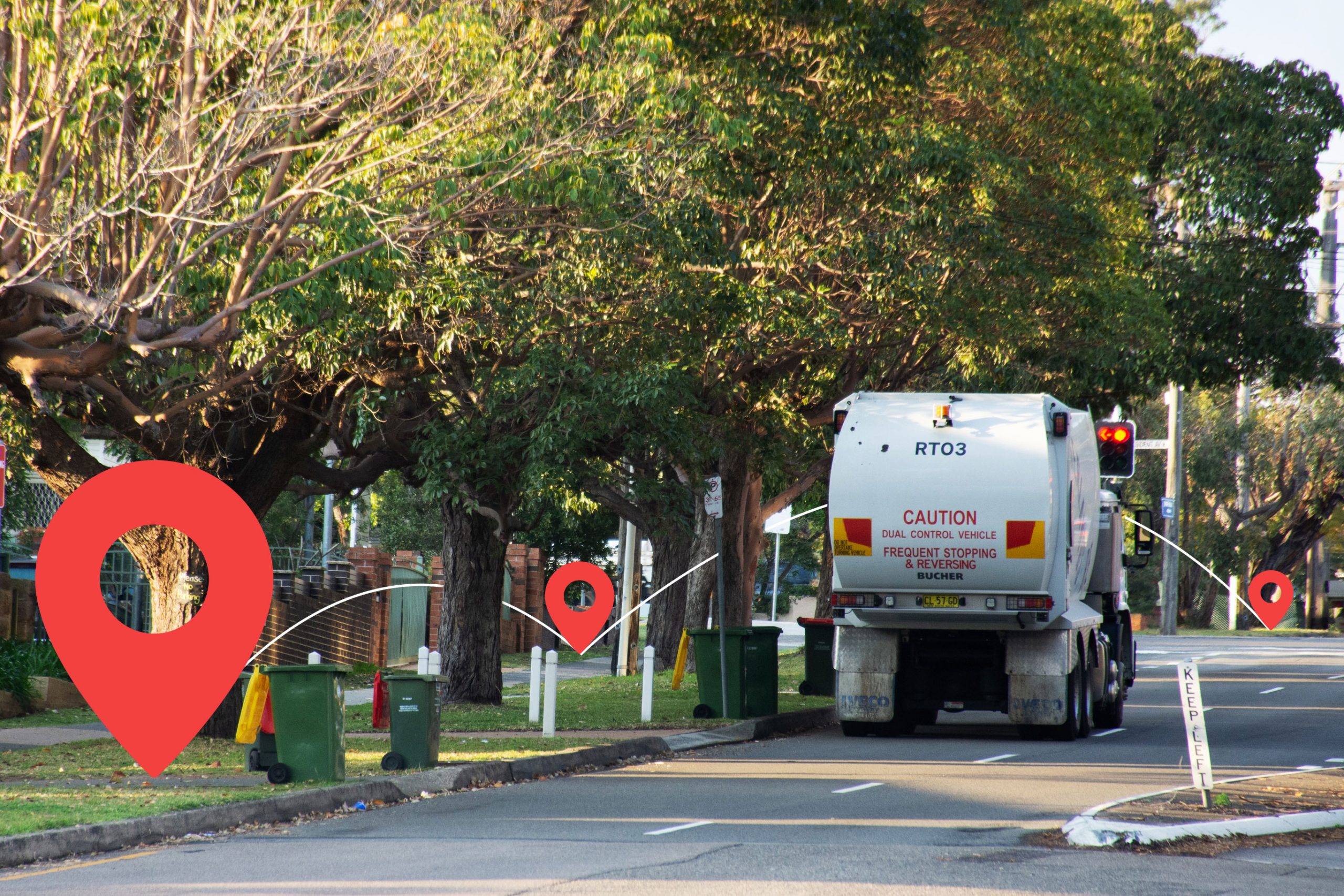
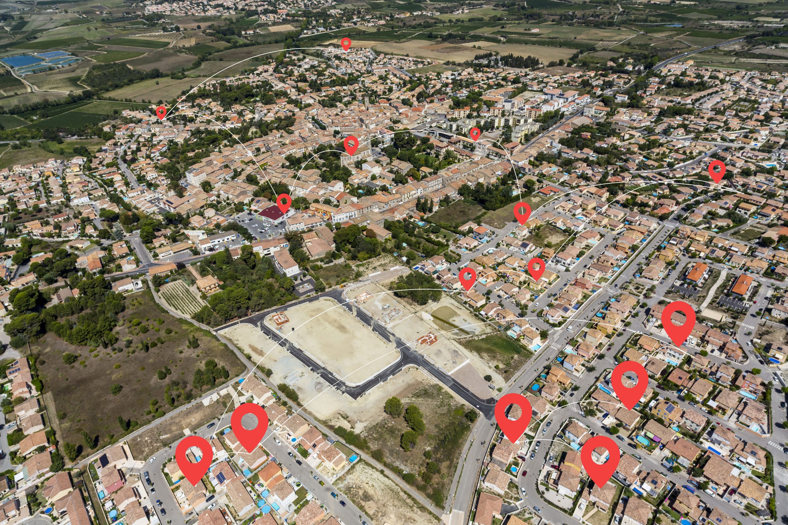
Earth observation (EO) data is being gathered by airborne and drone technology, GPS technology, remote sensing and an ever-growing collection of private and public satellites that is being used to observe changes to our planet. It’s predicted that more than 600 new satellites will be launched over the next couple of years to increase the amount of visual intel we have of our earth. This will enable humanity to not only measure the impact of global warming but to measure the amount of carbon pollution we produce by region to hold communities accountable for reducing their emissions as part of a global commitment to be net-zero.
There are many reasons how EO data can be powerful for understanding our global climate but below we will look at three main areas for how Earth Observation methods are critical to disaster resilience (a key driver within the United Nations Sustainable Development Goals).
01 Rescue plans
EO can help to predict natural disasters from trend analysis and visual changes in the world, which can also support regions in making vital rescue or evacuation plans. Potentially during a natural disaster, key resources such as water and electricity supply can be less accessible. These resources can be detected via EO tools to review which areas are lacking in supplies during a crisis and to visualize the closest points of where those resources can be found, that are not impacted by the disaster.
Adverse weather conditions that aren’t officially classed as a natural disaster such as heavy snow or heat waves can reduce a lack of resources or prevent people from travelling to get supplies. This is where GIS (geographical information systems) can play a part in helping, to not only detect these regions, but also to uncover potential routes to rescue vulnerable people or to provide supplies to them through necessary means.
02 Resource management
After a natural disaster, for instance a forest fire or flooding, it’s important to assess the damage done to life, land, natural resources, buildings and facilities. EO tools and data can reveal the impact that these disasters have on these different aspects, including ecosystems and even to the extent of tracking different species. NASA make their Fire Information for Resource Management System (FIRMS) publicly available to help communicate real-time data to relevant stakeholders including fire rescue services, landowners and agricultural sites, so that they can limit the damage, protect further land and restrict land to certain protocols. EO data can help produce burn scar maps that show the level of damage caused by forest fires and the worst impacted areas.
By examining the different levels of damage caused by natural disasters it can help to assess the estimated cost of the damage, the amount of variable efforts or resources required to redevelop certain areas and the risk of further after affects to post-disaster circumstances (e.g., accessibility to resources, communication lines or transportation).
When it comes to disaster planning and climate control management, having resources in place to control our climate, but also have supplies is necessary for sustainability. The remote sensors from EO technology can scan vegetation, and natural supplies to determine the quantity of valuable supplies by region. Visual mapping can help us understand the rate of change across regions to see how it is impacting our environment. The agricultural industry can use this intel to evaluate their plans to have better yields and a more efficient output of produce, including crop productivity, vegetation quality, weather impact and land management. It can also be utilized to help forecast potential drought areas, famine risks or lack of certain foods via location. Having a reliable resource plan during a time of climate crisis is even more critical to the long-term survival and recovery of a region.
03 Predicting future natural disasters
EO data makes it possible to monitor even minor changes that may require crucial pre-emptive actions. It can detect different forms of environmental changes including; wind erosion, deforestation, forest fires, sea floor topography, ocean movements, flooding, pollution, climate indicators, volcano eruptions, earthquakes and land changes.
Aerial images can be utilized to predict the earths movements and the cause of natural disasters including hurricane storms, to analyze the danger areas that are a risk to life. For instance, EO satellites were vital in the tracking of storms such as Hurricane Katrina and Rita to have evacuation, recovery and rebuilding plans.
The volume of historical EO data is also insightful for drawing conclusions between what are seasonal changes and what are long-term climate trends/impacts. Other natural disasters such as flooding, or droughts can be forecasted by monitoring changes in soil moisture and water levels through digital elevation modelling by SAR (Synthetic Aperture Radar) and reviewing it against weather predictions. By reviewing future risks from emerging patterns or world changes, it helps us to mitigate any further risks of climate change and to put necessary plans in place, including evacuation, resource control and alerting us to environmental threats.
The future of EO to understanding climate change
The EO data sourced from different technology means will continue to provide a holistic overview and regional perspective of our world with the importance of preserving our towns and local communities. Overall EO data can help improve the overall accuracy of planning for climate change and uncover early warning signs for natural disasters. The data also helps with quicker responses due to so swift analytics and through better risk calculations. Several research studies have shown that EO has helped to have more coordinated and better response plans to natural disasters due to the accurate, efficient visual data designs.
Sustainability is key to everything we do to prolong human existence and our beautiful planet. The geographical information systems (GIS) that have the intelligence to track and identify patterns in EO data will help both public and private organizations to monitor how the Earth is changing. In addition to measuring what are the main contributing factors linked to local, national, and global climate changes. This data can provide a very cost-effective way to track the impact of global warming and to continue to have wider insights to making informed decisions on avoiding crisis situations in order to minimize the cost to human life and damage to our world.

0 Comments