
Nowadays, carrying a mobile phone is just as normal as your house or car keys. Mobile phones have become ubiquitous with online activity increasingly going up every year, with an app monitoring firm called “Annie”, reporting that the average person can spend up to 4.8 hours of their day on their mobile phones.
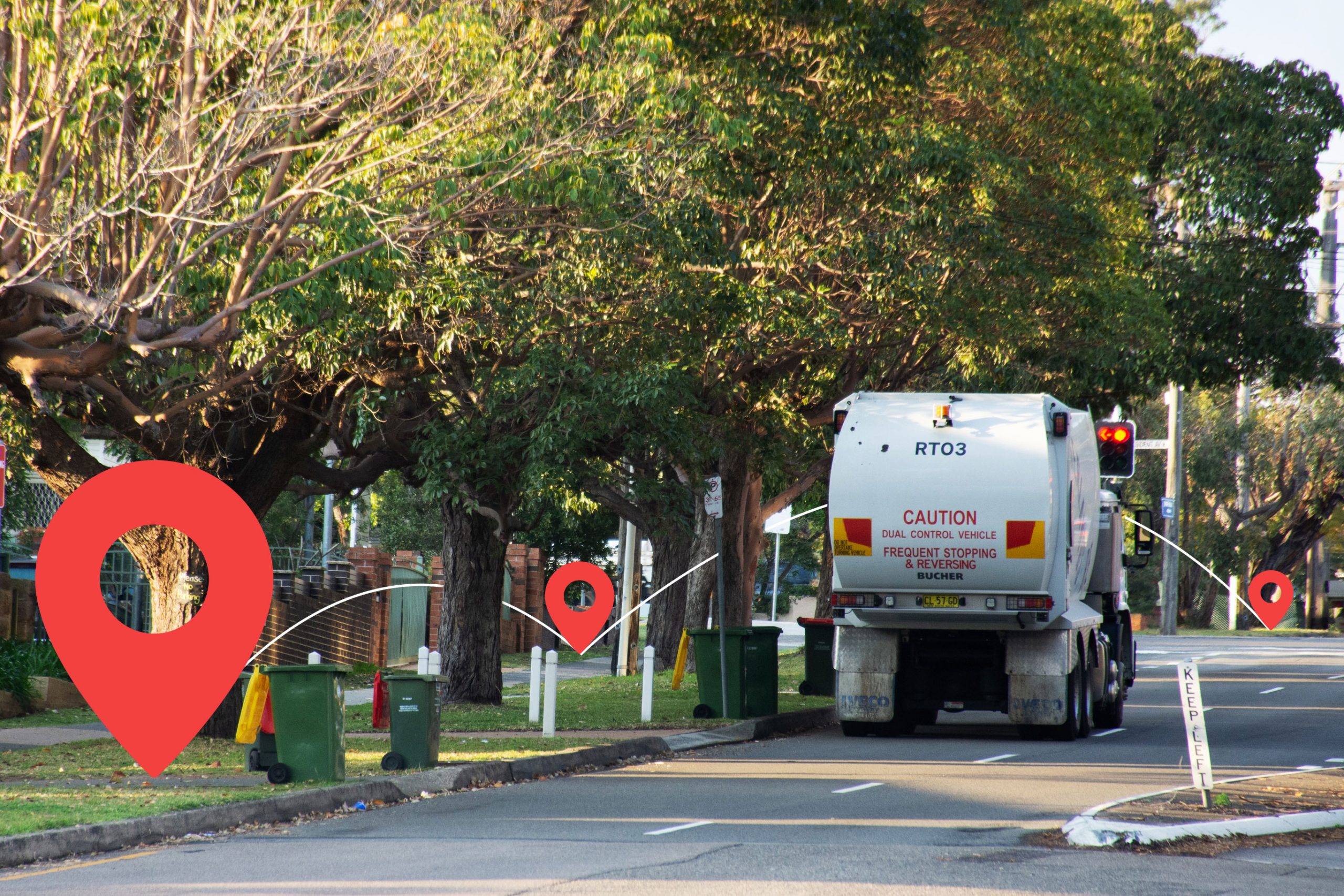
Almost every phone provider and mobile application has the ability to collect anonymized location data through signal transmissions on a phone. This has led to controversy on data protection and welfare, but it has also created many opportunities for research organizations to conduct studies on how people move around locations, how we interact with each other and our environment and to monitor trends or patterns.
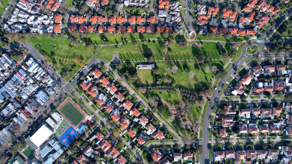
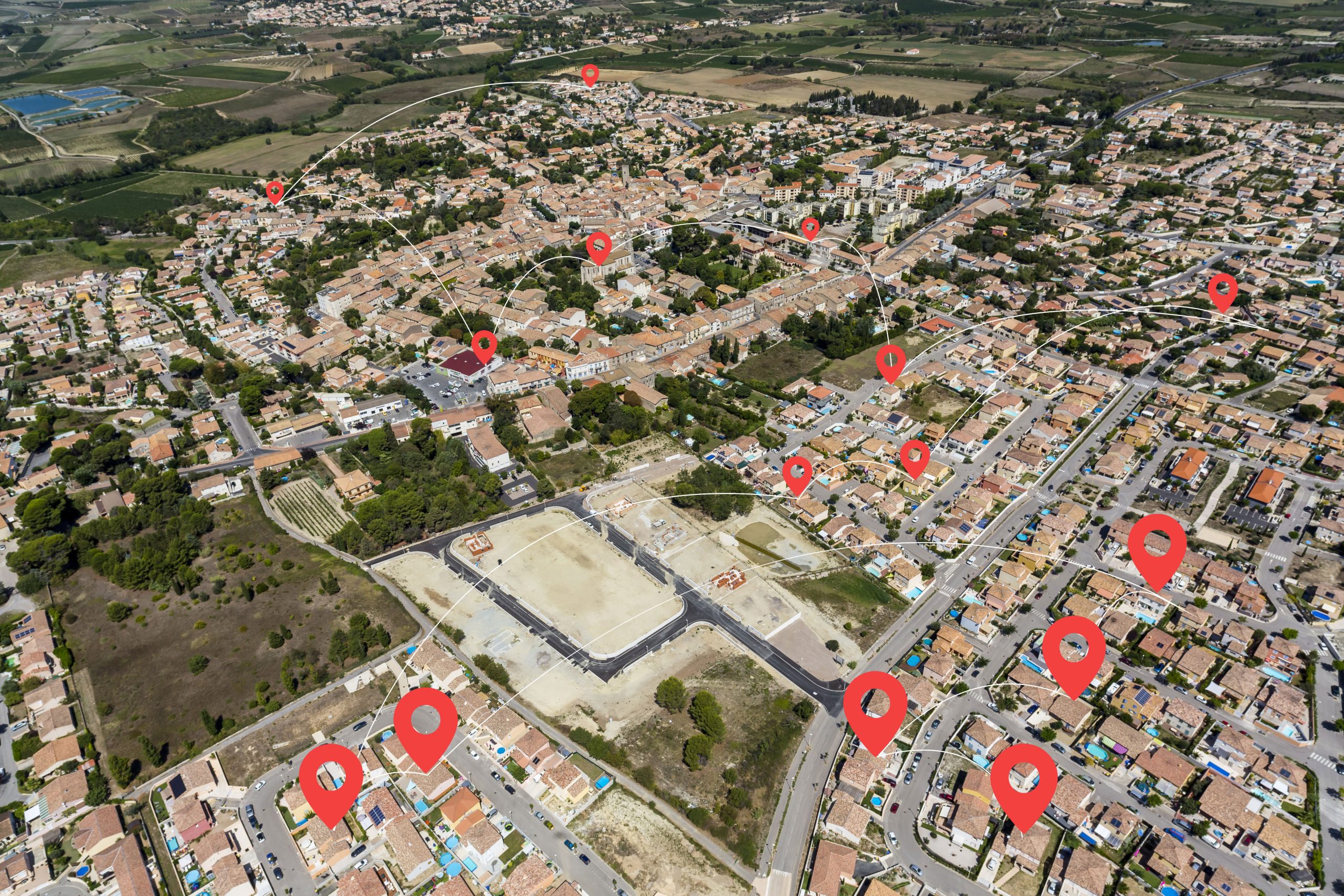
There are a lot of different GIS tools and techniques that have been used to ensure that location data can be accurate regardless of potential challenges with patchy location data. And, we now have the predictive technology to analyse and interpret the data. This process of spatial interpolation can estimate the direction and speed of a travelling mobile device/signal within the context of other points around it to pinpoint the current trajectory and location. Data modelling techniques help to route individual device locations and to collate groups of data for further trend analysis. These modelling techniques and methodology, combined with the intelligence of technology platforms, can predict further outcomes or activities based on the patterns of historic location data. It can also help to detect anomalies in location data to finetune the activities to determine a precise location route.
In this article, we will look at 4 reasons why research organisations are utilising mobile data, and share with you the benefits of conducting location mapping analysis.
01 Resource Management
Since the late 90s and early 2000s, geographical information systems (GIS) and mapping research has evolved with the technology advancements around us (from smartphones to network infrastructure). Everyday commutes or movements can be tracked to understand how services are being used in locations. Mapping tools are sequencing large volumes of location data and providing snapshots of daily, weekly, monthly and yearly patterns to highlight key events. One way mobile phone data is being utilized for the benefit of local communities is through relating it to how we are interacting with essential services such as shops, food or drink outlets or water stations. Tracking this vital location data will help us to supply the right level of resources to demand. It will also help with supplying future services, for example, electrical charging points for electric/hybrid cars that will only become more essential with time.
02 Crisis Management
One useful scenario for visualizing the mapping of locations via mobile phone data is to plan for crisis situations. For instance, if an evacuation or a rescue mission of an entire area was needed to be undertaken, the mapping of phone data would be able to assess how many people are escaping the area, what routes they are taking and how many people are stuck in the risk zones. Many organizations and countries have been doing just this for many crisis incidents including natural disasters, transportation accidents, conflicts, terrorism or security evacuations.
A study entitled “Understanding evacuation: The impact of a metro collision on ridership using large-scale mobile phone data” explores the transportation accidents in China and in particular the collision accident of a metro line in Shanghai that happened in 2011. The analysis showed that “7 billion mobile phone records during a 11-day period showed a pattern of behaviours”. This includes revealing that those commuters that were on this accident route still wanted to travel on the metro following this accident and when the line 10 metro was fixed, it went back to the similar capacity level of commuters on the same line. Not sure if this is relevant?
03 Density Analysis
A common type of research that organizations do through utilising mobile data is to create spatial data maps that allow the analysis of the density of a population or activities within a location. Through this analysis, it is possible to visualize the densest clusters of a town to reduce risks of overpopulation or congestion on roads and to provide certain services that might not be meeting the demand of an area. Detecting these high levels of congestion helps regional states to uncover ongoing issues to put the right infrastructure in place to avoid potential risks in the future, such as high levels of traffic and lack of services/resources.
04 Tourism
Mapping mobile phone data can be beneficial to understanding tourist behaviors within urban areas, analysing the overall footfall of specific routes and maximizing the commercial opportunities for businesses within towns. Logging the key location routes of tourist attractions and hot spotting where they spend their holiday time, allows towns to map out ideas for future commercial projects and where these might be suitable in correlation to tourist trends.
A study conducted in Venice entitled “Discovery of tourists’ movement patterns in Venice from public transport data” shows that the combination of ticketing data and mobile phones allows researchers to analyse how much time tourists spent in each location stop and where they congregate in the most. In addition to which, the modes of transport which where the most popular. This type of data helps for managing tourist levels from security, to staffing and commercialization.
Summary
The increasing usage of mobile devices means that the location data that can be harvested from mobile networks and applications, will continue to be analysed for making decisions on the development of our towns and community projects. This data will help organisations to decisively plan for designing spaces, layouts of sub-urban areas and accessibility to resources such as shopping centres, transportation, hospitals, security services and education.

0 Comments