SERVICES
These are the services we offer our clients around Australia.
GIS is more than software and maps. It is a capability enabled by people, supported by quality data, and delivered through the right processes and technology.
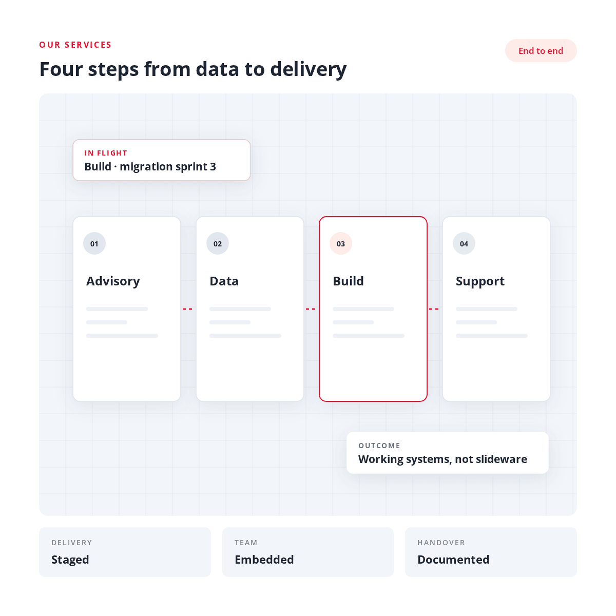
01
Discovery
02
Data Enrichment
03
Analytics and Visualisation
04
Managed Services
01
Discovery
People are at the centre of what we do. Even the best geospatial technology can underperform if it doesn’t meet the needs of the people using it, isn’t understood, or doesn’t support the way the organisation works.
For organisations new to geospatial or GIS, it can also seem complicated. What can GIS do? What data and map layers are available? How can it connect with your existing systems? What technology do you need? And where do you start?
For organisations new to geospatial or GIS, it can also seem complicated. What can GIS do? What data and map layers are available? How can it connect with your existing systems? What technology do you need? And where do you start?
Listen & Assess We start by listening and understanding what you are trying to achieve. We look at how you currently use, or want to use, geospatial, the data you have or need, how GIS could connect with other business information and how you want people to access and use it. |
Align Once we understand what you want to achieve, we look to match a geospatial solution that meets your business needs. This could be identifying the geospatial data you need, improving your existing GIS, integrating spatial and business data, automating processes, or how you want your geospatial solution delivered (web map portals, dashboards or integrating with AI). |
Recommend We give you a practical way forward by bringing our findings together and providing clear recommendations based on your needs, priorities, budget and available resources. This includes identifying current challenges, options and costs, opportunities for improvement and how your geospatial capability can develop over time. |
02
Data Enrichment
Getting data in, keeping it trustworthy, turning it into answers, and putting it where the work happens.
Data Supply
With over 35 years in the GIS industry, we can quickly identify who has spatial data which best meets your needs and the most efficient methods to deliver the data to you.
Data Management
Our focus is ensuring that you can gain maximum value from your geospatial data. This includes auditing your data to assess its fitness for purpose, management of data to ensure governance and quality can be maintained to streamlining and integrating your spatial data with your business systems and decision making.
Data Integration
The true power of geospatial is harnessed when it can be integrated within your organisation’s business systems. A GIS should not be a silo, and we build geospatial capability into the information systems within your organisation.

Data Analysis
Our Data Analysis service is professional, fast, accurate and cost effective. Our high level skills and experience in data analysis ensure high quality results, and save you the time and effort of doing it yourself.
03
Analytics and Visualisation
Spatial Analysis
Location intelligence can be maximised when GIS is used for spatial analysis. We have worked with many clients, with projects from land use suitability, proximity analysis of community services, risk assessments of natural disasters to the calculation of market size for commercial organisations.
Web-based Mapping
We create web maps which inform and enhance decision making. Our approach is based on ensuring that the maps easily communicate and clearly interpret information. Our sites are used internally and publicly by organisations to engage staff, stakeholders and communities.
Mapping & Map Creation
We are highly experienced in the creation of new GIS layers or overlays for inclusion in your GIS. We work with many different sources from field capture, drones or other combining many GIS Layers to create a resultant layer which is fit for your purpose.
Our projects can cover many applications from local government planning schemes, demographic analysis, service delivery, coroner inquests, ocean racing and rally cars.
Technology Implementation
The true power of GIS is harnessed when it can be integrated within your organisation’s business systems. We implement and integrate the platforms below and connect them to the systems your teams already use.






04
Managed GIS Services
Confidence in your geospatial solutions
Keeping your GIS environment running effectively requires time, resources and the right skills. As systems become more integrated and expectations grow, maintaining the level of GIS expertise you need can be challenging. Specialist technical knowledge may not always be available in-house, so we can complement your existing team or provide ongoing GIS capability where dedicated resources aren't available.
Insight GIS Managed Services gives you flexible access to experienced GIS professionals to support, manage and enhance your GIS environment.
We work alongside your team, providing the skills and support needed to deliver the outcomes you require. This can range from day-to-day GIS support and data maintenance through to system administration, integration, automation and ongoing improvements.
Build capability within your team
Through mentoring and GIS software training, we can strengthen the skills and knowledge within your team, helping ensure your GIS continues to deliver over the longer term.
GET IN TOUCH
Not sure where to start?
Tell us about your organisation's data or location challenge. We'll point you in the right direction.