
SOLUTIONS
Where location data creates the advantage.
INDUSTRIES
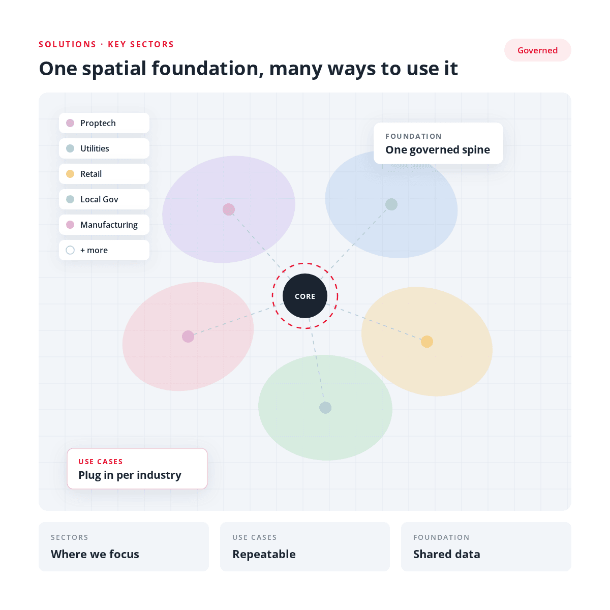
We work where location drives decisions.

Retail & Franchise
Site selection, catchment analysis and market intelligence for smarter growth.
EXPLORE RETAIL & FRANCHISE
Utilities & Infrastructure
Asset visibility, operational mapping and spatial data management across facilities and networks.
EXPLORE UTILITIES & INFRASTRUCTURE
Property & Proptech
Property intelligence, development suitability and risk assessment powered by location data.
EXPLORE PROPERTY & PROPTECH
Local Government
Planning, asset management and community services backed by 30 years of spatial expertise.
EXPLORE GOVERNMENTUSE CASES
The specific problems we were brought in to solve.

Public engagement mapping
An interactive public map that communicates rather than just displays. Residents find what applies to their street, and the organisation answers fewer repeat enquiries.
TYPICAL SCENARIOS
- A council wants residents to discover walking links and shortcuts at the end of cul-de-sacs without fielding phone calls.
- A community consultation needs residents to see and comment on what is proposed near them.
- An organisation needs one public map that stays current across web and mobile instead of a PDF that goes stale.
Regulatory and planning scheme mapping
Statutory overlays turned into maps that a non-specialist can read. Zones, overlays and constraints become clear at a property level, for both staff and applicants.
TYPICAL SCENARIOS
- A draft planning scheme goes out for exhibition and the public needs an interactive map of the proposed provisions.
- Applicants need to understand flood, bushfire or heritage overlays on a site before lodging.
- A regulator wants consistent scheme mapping delivered the same way across many jurisdictions.

Single source of truth for spatial data
Legacy and duplicated datasets consolidated into one governed register, so different teams stop working from different versions of the same map.
TYPICAL SCENARIOS
- Several merged departments or councils each hold their own asset layers and none of them agree.
- Reporting takes days because someone has to reconcile spreadsheets against the map by hand.
- Property, finance and operations need one map they all trust before a decision can be signed off.
Location analytics & catchment modelling
Spatial analysis that answers a commercial or service-planning question: who is within reach, how far they travel, and which option ranks highest.
TYPICAL SCENARIOS
- A national rollout needs a repeatable way to rank dozens of candidate sites rather than argue case by case.
- A service planner needs to know which communities fall outside acceptable travel time to a facility.
- A team wants customisable buffers and point-to-point correlation without commissioning new remote sensing.

Risk and hazard assessment
Natural hazard and constraint data resolved to individual sites, delivered either as a report or as a live service other systems can call.
TYPICAL SCENARIOS
- A platform needs flood, bushfire and planning risk returned for every address through an API.
- A council must publish clear public information about potential flooding impacts alongside its scheme.
- An insurer or lender wants consistent hazard exposure scoring across a whole portfolio.
GIS integrated into business systems
Spatial data pushed out of the GIS team and into the tools everyone else already uses, so the map stops being a silo and starts being infrastructure.
TYPICAL SCENARIOS
- Only two people in the organisation can produce a map, and every request queues behind them.
- Spatial data needs to feed dashboards, web apps and finance or asset systems automatically.
- A new platform is being implemented and existing GIS layers have to come across cleanly.