WORK

Projects that put location at the centre.

We are proud of the work we have delivered for clients around Australia. Here are some of the highlights.
​​Marine and Safety Tasmania (MAST) GIS

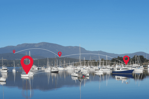
To meet rising mooring demands, Insight GIS delivered a web-based GIS that unified MAST's data, streamlined inspections, and made information easily accessible for both staff and the public. This upgrade modernised workflows and earned MAST GIS industry recognition in the 2018 Asia-Pacific Awards.

Read case study →

​​Discover Communities

InsightGIS developed the Discover Communities solution for online mapping and public engagement for local governments in Australia. Discover Communities is not seen as a mapping but as a communication tool that uses maps. It allows local government to not only deliver information to but engage with their residents.

Read case study →

​​Derwent Valley Council 

Derwent Valley Council Maintenance Department continues to go from strength to strength since the implementation of Insight GIS's spatial data solutions. There are 12 Maintenance Council workers on the ground as the Derwent jurisdiction is large and diverse and made up of both residential and farm land, with gravel roads making up two thirds of the road surfaces.

Read case study →

​​Community Projects

With intuitive mapping capabilities and powerful location-based analytics, supporting digital engagement is now possible wherever you or your residents are. Interacting with digital imagery of maps, seeing customisable buffers around locations, or correlating data between two points is easy and requires no remote sensing.
Read case study →

​​Promoting Local Communities with @Leisure

2024 has seen Insight GIS work on various projects which all reaped the benefits of quality GIS. Our most recent project with @Leisure required detailed isochrone and inventory mapping to ascertain the local facilities to determine the feasibility of playgrounds and an open space strategy. With over 30 years of data experience, the Insight GIS output was second to none.

Read case study →

​​Sorell Council Waste Management

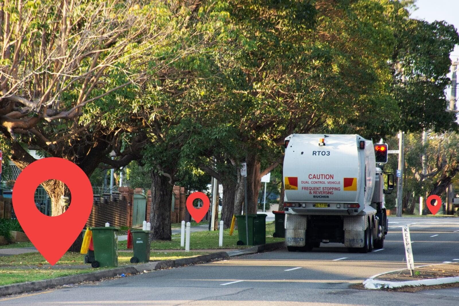
InsightGIS helped Sorell Council to automate its waste collection process. The route is automatically converted to geospatial data and the Drivers are each provided with an ipad detailing their collection points and most optimal route.
Read case study →

TrueView

With intuitive mapping capabilities and powerful location-based analytics, supporting digital engagement is now possible wherever you or your residents are. Interacting with digital imagery of maps, seeing customizable buffers around locations, or correlating data between two points is easy and requires no remote sensing.

Read case study →

TESTIMONIALS

What our clients say about us

01 / 08
★★★★★

The portal was developed by data experts from Insight GIS and is available on the Council’s website under the Online Planning Services page. The information on offer here will increase investor confidence and go a long way to encouraging responsible, sustainable development in the Whitsunday region.

Mayor
Whitsunday Regional Council
★★★★★

Work with Insight GIS was produced as part of our Council’s commitment to provide the public with concise and easy to understand information regarding the planning scheme and potential impacts from flooding.

Mayor
Cassowary Coast Regional Council
★★★★★

We are a community working together, growing for generations to come and our Discover Communities project with InsightGIS allowed us to provide interactive map access to the latest data and information on the Meander Valley.

GIS Team
Meander Valley Council
★★★★★

Our Council is keen to continue making the community more walking friendly and we are grateful for the support that Insight GIS has provided to help us develop this interactive, online mapping tool.

Mayor
Kingborough Council
★★★★★

Duri and Panika, your hard work, flexibility, and willingness to go the extra mile - especially under such tight deadlines—have been absolutely outstanding. The Council truly appreciates the tremendous effort and commitment you brought to this project. Your collaboration was crucial to achieving this successful outcome, and we couldn’t have done it without you.

Rong Zheng
Program Manager, Strategic Land Use Planning
★★★★★

Often, work relies on GIS mapping and support quite often, and Duri is such a delight to work with. His can-do attitude, promptness, knowledge, advice on how something may be achieved are a few of the qualities that make him a valued colleague. Though he works only part-time, we really appreciate that he always accommodates (sometimes last-minute) requests. Thanks, and keep up the great work Duri!

Tony McMullen
Chief Executive Officer
★★★★★

Thank you so much for that. We really appreciate you being able to step in and help us out, that was much appreciated, and for your flexibility in being able to regularly catch up.

Sally Jeavons
Director
★★★★★

Huon Valley Council has valued our long relationship with Insight GIS enormously. Whilst we may be changing direction in GIS software, I look forward to continuing the GIS support relationship with your team. The professional delivery of our GIS software migration was exactly what we needed.

Brett Thompson
Assistant Manager, Asset Management

GET IN TOUCH

Not sure where to start?

Tell us about your organisation's data or location challenge. We'll point you in the right direction.