
The information to make better decisions already exists. It is just trapped across departments.
When spatial, asset, planning, field and community data are disconnected, simple questions become long projects. We help government teams create trusted location intelligence so decisions can move faster, stand up to scrutiny and serve communities better.
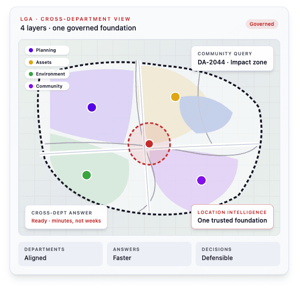
The goal is not another map or dashboard. It is giving planners, asset teams, operations, executives and community-facing staff the right view of the same trusted information.
FRICTION POINTS
Where good decisions get delayed.
Every cross-department decision starts with a manual data request.
The information exists across planning, assets, works, environment, finance and field systems. Getting it into a useful, trusted view before a meeting can take days or weeks.
Critical spatial knowledge sits with a small number of people.
Experienced staff know where the data lives, what can be trusted and how different systems relate. When that knowledge is not captured in a repeatable process, the organisation carries unnecessary risk.
A community question needs an answer before your systems can provide one.
Whether the question concerns a proposed development, asset condition, service coverage or local risk, teams need clear answers quickly not a scramble to reconcile data and create a one-off map.
Capital, service and risk decisions are made using incomplete views.
When location-based information is fragmented, it is difficult to compare priorities fairly, see cumulative impact or explain why one investment comes before another.
The real challenge is not a lack of data.
It is making trusted location intelligence available to the people making decisions, without every question becoming a custom GIS or IT request.
WHAT CHANGES
From fragmented sources to a trusted spatial foundation.
BEFORE
AFTER
Data requests move between departments before anyone can start making the decision. | A shared spatial foundation that brings relevant planning, asset, operational and community information into one trusted view. |
Important spatial knowledge lives with a few experienced staff. | Repeatable data and decision workflows that reduce key-person risk and make knowledge easier to share. |
Community and executive questions trigger manual analysis and one-off maps. | Role-relevant, self-service views that help teams answer common questions faster while working from governed information. |
Capital and service priorities are assessed in separate systems and spreadsheets. | A location-based view of demand, assets, risk and service coverage that supports clearer prioritisation and more defensible decisions. |
Different teams work from different versions of the same place. | One trusted spatial foundation, with the right view for each team and a consistent basis for decisions across the organisation. |
For 30 years, we have built and maintained spatial data foundations across complex government environments.
That work requires reliable information, consistent methodologies and answers that hold up when challenged by people with different responsibilities and priorities. We bring that same discipline to the decisions shaping your community, services and infrastructure.
TELL US ABOUT YOUR DATA CHALLENGE
Tell us where disconnected information is slowing decisions.
We will review how spatial, operational and business information currently moves across your organisation, then identify where a more connected location intelligence approach could reduce manual work, delays and uncertainty.
No pitch deck. No sales sequence. Just a conversation.