Your operations team already knows where the inefficiency is.
They just cannot show anyone.
They just cannot show anyone.
FRICTION POINTS
Where operational knowledge gets stuck.
When something breaks, the first ten minutes are phone calls.
Your best maintenance planner carries the route knowledge in their head.
Every cross-site decision starts with a request to someone in IT.
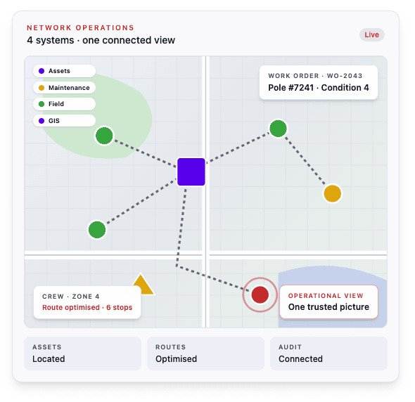
The answer is not necessarily another system, a major replacement project or another tool for your team to learn. It is connecting the systems you already run - asset, maintenance, field and operational data - through the location they have in common.
The result is a trusted operational view that gives each team the information it needs, without creating another manual request or report.
From fragmented sources to a trusted spatial foundation.
BEFORE
AFTER
Ten minutes of phone calls to locate an asset and confirm who is responsible for it. | Asset location, condition history and contractor responsibility visible in one place, accessible to anyone who needs it. |
Route knowledge carried by your best people, lost when they leave. | Maintenance routes built around actual asset locations and geography, reducing travel time, improving coverage and making route knowledge transferable across the team. |
Two weeks to prepare the data for a capital planning meeting. | A current operational view of asset condition, risk and capacity that leadership can access without a manual data request. |
| Audit preparation that creates a week of panic every time. | Compliance records connected directly to asset locations, reducing audit preparation from a manual project to a structured data request. |
| Cross-site comparisons that require IT involvement and produce results nobody fully trusts. | A consistent operational view across every site, allowing teams to compare performance, condition and risk without relying on a manual data request. |
For 30 years, we have connected spatial, asset and operational information across complex, distributed environments.
Tell us where the friction is and we will identify what a connected operational view could improve.
We will review how information currently moves between your systems and identify where connecting it through location could reduce manual work, delays and uncertainty.