
Every property decision depends on location data.
Can you trust yours?
Can you trust yours?
Whether you are choosing a site, managing a portfolio or building a property-data product, fragmented location data slows decisions and makes results harder to defend. We connect, govern and activate spatial data so property, GIS and data teams can deliver answers the business can act on.
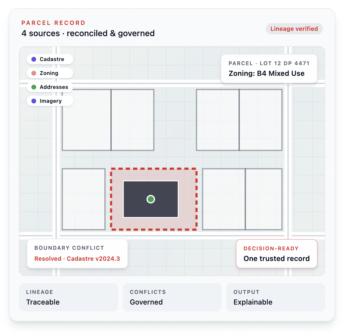
From site selection and portfolio intelligence to data lineage and scalable property-data products, the challenge is the same: turning disconnected location data into decisions people can trust.
FRICTION POINTS
Where trust in property data breaks down.
A client questioned a result last quarter and your team could not fully explain why.
The team could not quickly trace where the data came from, how current it was or how it had been reconciled against the other sources feeding the same output.
Your product blends data from more than one provider, but the logic used to resolve conflicts between them is not fully documented.
Two sources disagree on a boundary or parcel, something in the pipeline picks a winner, and the logic behind that decision may not have been reviewed in years.
The licensing decision that shaped your product was made by someone no longer on the team.
It made sense at the time. But without a clear reason to revisit it, the decision may have remained in place long after the product and its clients outgrew the original requirements.
Accuracy claims in your sales deck are harder to defend than they used to be.
As your buyers get more sophisticated, ‘our data is accurate’ stops being enough, and the gap between the claim and backing it up in a data room is where deals start slowing down.
A site, investment or portfolio decision needs an answer, but the data sits across too many systems.
Property, market, demographic, asset and location data may all exist, but pulling it into a trusted view takes too long. By the time the analysis is ready, the opportunity or the meeting has moved on.
A client asks where a number came from and your team cannot explain it in the room.
The issue is rarely one dataset. It is the gap between multiple sources, changing boundaries, undocumented assumptions and no clear way to show how an output was produced.
Your property-data product blends sources, but the logic used to reconcile them is not fully documented.
When two sources disagree on a boundary, parcel, address or classification, something in the pipeline picks a winner. If the logic has not been reviewed as the product has grown, trust becomes a risk.
Your spatial data decisions were made when the business was smaller.
The tools, sources, licensing and workflows that worked at launch may no longer meet the needs of a growing portfolio, more sophisticated clients or a more demanding data environment.
The real issue is not simply better mapping. It is creating a trusted spatial data foundation that gives each team the view it needs from property and investment to GIS, analytics, product and leadership, without everyone working from a different version of the truth.
WHAT CHANGES
From fragmented sources to a trusted spatial foundation.
BEFORE
AFTER
| Site and portfolio decisions delayed while teams manually reconcile data from multiple systems. | A connected spatial data foundation that brings the relevant property, market and location information into one trusted decision view. |
| A client questions a result and the team spends days tracing where a number came from. | Clear lineage and methodology, so the team can explain and defend a result when it is questioned. |
Multiple data sources with undocumented conflict-resolution logic. | A current, governed approach for reconciling sources, with assumptions visible and reviewed rather than left to run unnoticed. |
| A data sourcing or licensing decision nobody can fully justify. | A spatial data strategy that matches the organisation’s current scale, risk profile and client expectations. |
| Property, GIS, product and data teams working from different spatial assumptions. | A shared spatial foundation with role-relevant views, so every team can act on the same trusted location intelligence. |
For 30 years, we have built and maintained spatial data pipelines across complex environments, reconciling sources that were never designed to agree.
That work demands outputs that are current, traceable and explainable, whether the decision involves a site, a portfolio, a client-facing product or a major investment. We bring that same discipline to your property and data decisions.
TELL US ABOUT YOUR DATA STACK
Tell us what your property or data decisions rely on and we will identify where the gaps are.
We will review your current data sources, workflows and decision process, then identify where stronger spatial foundations could reduce manual work, improve confidence and help your teams move faster.
No pitch deck. No sales sequence. Just a conversation.